Wintery Bingo in Southwest Corridor Park
A History of Southwest Corridor Park
Introduction
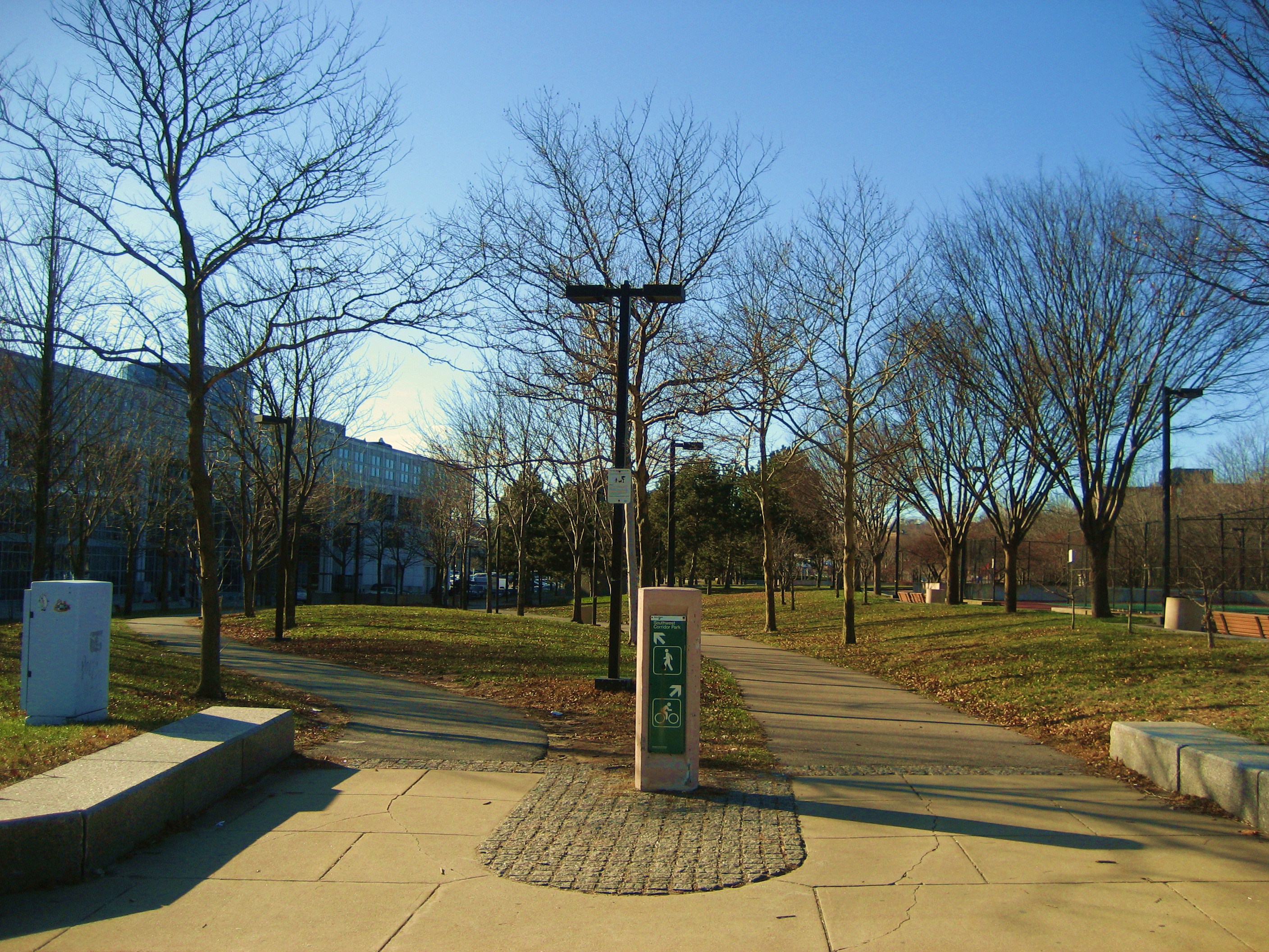
Southwest Corridor Park is a long and interesting green space in Boston. It's a 4.1-mile long, 57-acre park that stretches from Back Bay to Forest Hills. It links the neighborhoods of South End, Back Bay, Roxbury and Jamaica Plain.
About a quarter of the parkland is decked over the railroad tracks, which leaves more space for grass and the different things to do along the Park. Southwest Corridor Park includes 11 tot lot areas, 2 spray pools, 7 basketball courts, 5 tennis courts, 2 street hockey rinks, 2 amphitheaters, and about six miles of pathways for biking, walking, and running.
Adapted from mass.gov
Founding
The park's history is long and interesting.
In the 1950's and 60's, the city started to plan a 12-lane highway between Boston and Rte. 128, and on into Cambridge.
The residents of Jamaica Plain, Roxbury, South End, Back Bay, and Cambridge heard about this plan and became afraid that the highway would destroy their neighborhoods. They quickly organized community protests and demonstrations against the planned highway.
After hundreds of heated meetings and protests, Governor Sargent scrapped the plans for the highway in 1969. Instead, the city put the money towards public transportation, "open" park space, and public recreational facilities. In May, 1987, the city opened a relocated Orange Line and a new Southwest Corridor Park next to it.
Adapted from mass.gov
Modern Use
Today countless people use the park for recreation, travel, and as a case study in urban planning and the power of grassroots organization. It is a convenient link between several Boston neighborhoods. The Park also provides all the benefits of any natural, green area--reduction in urban heat islands, decreased soil erosion, flood control, and improved air quality.